Planning Scheme

Providing a clear and consistent framework
Planning schemes are made up of maps and ordinance. The ordinance are the policies and written clauses and the maps depict where the zones and overlays apply within the planning scheme area.
Purpose of Planning Schemes
- To provide a clear and consistent framework within which decisions about the use and development of land can be made.
- To express state, regional, local and community expectations for areas and land uses.
- To provide for the implementation of State, regional and local policies affecting land use and development.
Overlays
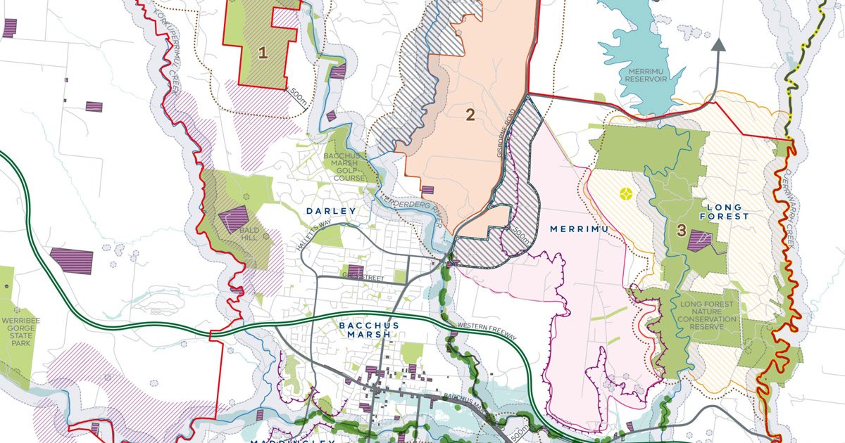
The planning scheme map may show that a piece of land has an overlay as well as a zone affecting it. Not all land has an overlay. Some land may be affected by more than one overlay. If an overlay applies, the land will have some special feature such as a heritage building, significant vegetation or flood risk. The overlay information will indicate if a planning permit is required for the construction of a building or other changes to the land.
Zones
The planning scheme zones land for particular uses, for example, residential, industrial, business or other. The zones are listed in the planning scheme and each zone has a purpose and set of requirements. This information describes if a planning permit is required, and the matters that the council must consider before deciding to grant a permit. A zone may also specify information that must be submitted with a planning permit application. The zone also contains information relating to land uses, subdivision of land, construction of new buildings and other changes to the land. A zone sets out land use controls in three sections:
Section 1: Land uses that do not require a planning permit.
Section 2: Land uses that require a planning permit.
Section 3: Prohibited uses. Some uses are not allowed on land in a zone because they may conflict with other uses; for example, industry is prohibited in the General Residential Zone.
(Planning Schemes - Planning Victoria)
Buffers and Land Use Compatibility
‘Buffer’ in the context of land use planning refers to land used to separate or manage incompatible land uses, often industrial uses and sensitive uses, to ensure land use compatibility and avoid land use conflict. Although buffers are not a substitute for best practice management of off-site impacts by industry, it is recognised that even ‘state of the art’ facilities are not always able to eliminate the potential for unintended off-site impacts. Buffers are often still needed to protect sensitive uses from these impacts and provide certainty for industry operators.
(Managing buffers for land use compatibility - Planning Practice Note 92 - Planning Victoria)
Setback Distances
Typical standards and permit requirements relevant to a project’s development and operation can include matters such as audible noise, shadow flicker, visual amenity impacts, setback distances, environmental matters related to flora and fauna, vegetation clearance as well as noise and dust levels during construction.
A setback distance (also known as a ‘veto’ distance) is a default distance that, if a residence (dwelling) is within that specified distance from a proposed infrastructure, such as energy transmission, a wind turbine or solar array, the resident can either veto the asset or enter into a commercial agreement with the developer to allow the asset to be sited within the setback distance limit.
(Australian Energy Infrastructure Commissioner - Governance and Compliance of Standards and Permit Conditions)

